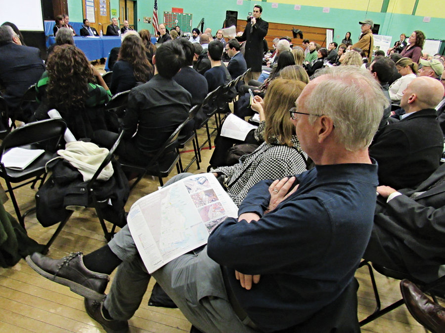
Hoboken officials and engineers met with the public on Thursday, Feb. 18 and unveiled three new plans to protect the city from future storm surges, two months after residents criticized earlier plans for floodwalls that might rise as high as 12 feet high and cut into residential neighborhoods.
A packed house of over 200 residents attended the meeting and many were elated the floodwalls were largely gone.
“I just want to thank you for taking the concerns of residents of Garden Street so seriously,” said 20-year resident Marguerite Bunyan, at the meeting.
Laura Edelman, who has lived at the Hudson Tea Building for the last three years, was also happy the new alternatives don’t thwart the “openness of Hoboken.”
The clock is ticking on engineers who must finalize a plan soon since $230 million in federal money will be dispersed to the city in 2017. The money is a prize from the United States Department of Housing and Urban Development (HUD) for the city’s victory in the Rebuild by Design competition.
The current date for completion of the new infrastructure is set for 2022 and the New Jersey Department of Environmental Protection (NJDEP) estimates it will take three and a half years to complete the project.
“The experts say we shouldn’t say this [but] option 1 is dead on arrival.” – Mayor Richard Turner
____________
“I prefer to call it flood-protection measures or flood barriers,” Zimmer told The Hoboken Reporter after the meeting.
“I hate to even use the word ‘wall.’ Right now we’re at the very beginning stage of imagining what it could be. I recognize this is extremely difficult because we’re looking at dashed lines on a piece of paper [but] we’re not talking about walls. We’re talking about something that is integrated into our community and based on what we’re hearing from [them].”
DEP Manager of Constituent Services Kerry Kirk Pflugh told the Reporter a preliminary concept of the final “preferred plan” would be made public between June and August.
Between now and then, drop-in meetings and design workshops will be held to partner with locals for their input. You can visit www.state.nj.us/dep/floodhazard/rbd-hudsonriver.htm to ask questions or provide comments online.
Breaking down the barriers
Dennis Reinknecht, the Rebuild by Design project manager for NJDEP, noted that the exact locations of the flood barriers and berms have not been established. But he doesn’t foresee the barriers encroaching upon the sidewalk.
At the presentation Dewberry Engineers noted the city is working on other ways to help Hoboken’s flooding issue: three flood-resilient parks and the installation of a new pump station scheduled for completion this October.
All three new barrier plans, the “Resist” part of the two-part design, impact southern Hoboken and Weehawken to the north in similar ways, and Weehawken Mayor Richard Turner also attended the meeting on Thursday.
The alternatives add 8 to 12 foot flood barriers around Weehawken Cove and 3 to 11 foot flood barriers down either the area immediate to Observer Highway or Vezzetti Way which would stretch as far west as Jersey Avenue.
Alternative 1 offers 98 percent coastal protection but is not what many residents consider practical because it would limit access to the waterfront and block views of Manhattan.
The second and third alternatives, which provide 86 and 85 percent flood protection respectively, would leave the immediate areas of the waterfront between 13th Street and First Street vulnerable to some flooding.
In addition, the engineers said that while the “Resist” portion of the overall project has yet to be decided, the “Delay, Store and Discharge” is consistent throughout all alternatives. This second part of the plan includes components that “aim to maximize the potential to capture, store, infiltrate, evaporate, and release storm water.”
However, whether the funding will allow for the three-part latter part of the plan is yet to be determined.
Turner: Alternative 1 is ‘DOA’
Alternative 1 proposes a “waterfront alignment” along the harbor, amassing 15,000 linear feet of flood barriers on the edge of the waterfront as high as 12 feet high. This plan, which would install walkways, flood barriers, and deployable walls along the north and south portions of the waterfront, has made it this far because the National Environmental Policy Act (NEPA) requires it, Zimmer said.
Weehawken Mayor Richard Turner – who along with Jersey City also benefits from the plan – put it more bluntly at Thursday’s meeting.
“The experts say we shouldn’t say this, [but] option 1 is dead on arrival,” he said, to the applause of some. “There’s not enough money to do it. It’s too high. It doesn’t make any sense. It’s not going to happen in Weehawken. And I know Mayor Zimmer, she might not be able to say it tonight, but it’s not going to happen in Hoboken.”
The plans
Alternative 1 consists of 8 to 12 foot flood barriers and berms starting at the tip of Harbor Boulevard in Weehawken. These would conclude as 8.5-foot elevated walkways/deployable walls on Sinatra Drive near 11th Street abutting anti-flood landscaping inside Maxwell Park.
On the south side of town a deployable floodwall would wrap around Sinatra Drive from Fouth Street cutting up First Street ending off near Court Street.
The remaining two alternatives are very much twins, with one exception.
In the north part of town where Alternative 2 would place flood barriers down 15th Street, Alternative 3 proposes the very structures cut down an alleyway that parallels 14th Street and connects to Garden Street.
The berms or barriers, depending on the final design, would head down the west side of Washington Street up to the 13th Street firehouse. The flood barriers, which could be benches or integrated landscaping, would gradually become smaller as they go down Washington Street.
Weighing in
“I sat and talked to Madison Bar and Grill and Bin 14 about those options [which infringe on Washington Street],” Zimmer said at the meeting.
The mayor told the businesses that engineers could create “flood-protective” outdoor seating or a general “space amenity” with access for restaurants and community members in the areas where the flood barriers are located on Washington Street.
Evan Fensterstock, 32, a Hoboken resident since 2011, said he was “disappointed” with the concepts.
“I don’t think these three alternatives are the way to go, any of them,” he said. “I can’t count how many times I heard the word wall and waterfront.”
All three-flood alternatives place some residential neighborhoods on the “wet side” of the flood barriers like the Hudson Tea Building and Harborside Lofts.
“I think that they haven’t thought it through,” Bray Ridenour, who has been living in the Harborside Lofts since 2007, told the Reporter. “They’re rushing into this and choosing the easiest and most cost-effective plan. I don’t want a wall around my loft, but I don’t want to be caged in either.”
Ridenour said he currently favors Alternative 3, although it’s not “ideal.”
Zimmer said the current three options may be modified but an additional alternative will not be added. Still, the mayor said she is confident that as talks continue, residents will come to understand that flood-protection can take many forms.
Watch hudsonreporter.com for breaking news on this and other items. To see all three alternatives visit www.state.nj.us/dep/floodhazard/rbd-hudsonriver.htm.
Steven Rodas can be reached at srodas@hudsonreporter.com.
SIDEBAR:
The State Department of Environmental Protection’s breakdown of the plans:
(Editor’s note: All plans include a potential Weehawken Cove boathouse, as well as deployable floodgates at intersections)
Alternative 1: “Waterfront alignment” (1) Greatest potential for introducing new public space/amenities. (2) Potentially least amount of transportation network (roadway and parking) disruption. (3) Highest cost and complexity to construct compared to the other alternatives. (4) Most impact on existing waterfront views/access.
Alternative 2: Partly located on 15th and Washington Streets (1) Does not impact waterfront views or existing waterfront access. (2) Less costly to construct compared to Alternative 1. (3) May require reduction in space along Washington Street for structure footprint. (4) May have impact on roadway/traffic flow on 15th Street.
Alternative 3: Partly located on Washington Street and private alleyway that parallels 14th Street (1) Does not impact waterfront views or existing waterfront access. (2) Less costly to construct and maintain compared to Alternative 1. (3) Reduced traffic and circulation impacts compared to Alternative 2 by using alleyway for portion of alignment. (4) May enhance the urban design and existing use of public space within the alleyway. (5) May require reduction in space along Washington Street for structure footprint.
To see all three alternatives visit www.state.nj.us/dep/floodhazard/rbd-hudsonriver.htm.