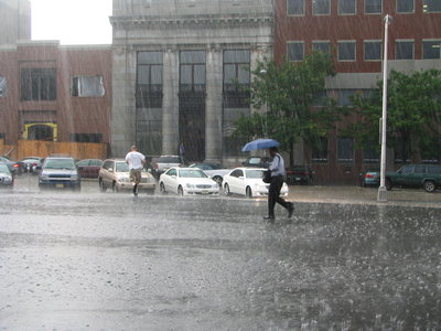
HUDSON COUNTY — Is it hype, or a major threat? Predictions for this weekend’s weather in New Jersey have become more dire over the course of the last 24 hours. By this afternoon, CNN’s weather tracker predicted that a category 2 hurricane will slam into New Jersey on Sunday at 8 a.m., bringing 100 mile per hour winds.
The US government’s predictions are similarly strong right now, viewable here.
The Weather Channel has maps also predicting a 100 mph, category 2 storm.
Here at hudsonreporter.com, Hudson County, New Jersey’s weekly newspaper group, you can click the upper right to get to the Accuweather forecast for the weekend.
A major hurricane hasn’t directly hit the area in several decades, and some say we are unprepared and could be under two stories of water in certain areas. Read our post and the links at the end of it to learn more about the potential impact on Hudson County.
If you get good photos of the storm this weekend, attach up to three at a time as jpegs and send an email to editorial@hudsonreporter.com. If we use them in an upcoming issue and/or on-line, we’ll give you a photo credit (and link to your website if you so desire).
Note that the storm is still four to five days away, so its track has time to change.