HOBOKEN – A Stevens Institute of Technology professor and ocean engineer — widely known for predicting the massive extent of Hurricane Sandy’s flooding before many others — has his own forecast for Hurricane Joaquin.
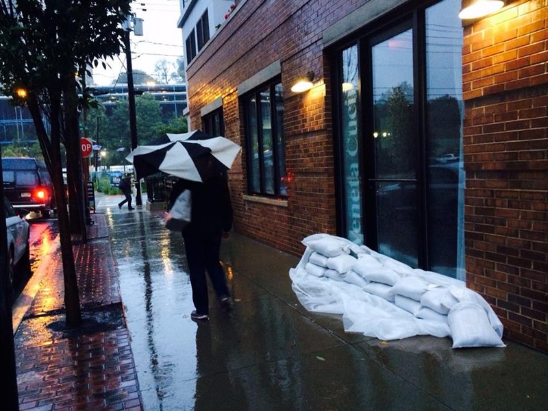
Although the city sounded the alarm on Wednesday, Sept. 30 in preparation for Hurricane Joaquin, the National Hurricane Center has since then changed its prediction based on current weather models, and currently predicts the storm will stay off the East Coast as it heads northward in the next few days. In fact, forecasters believe that the rains from the nor’easter on Friday, Oct. 2 were the worst of it.
“Joaquin is not going to impact [Hoboken] as of now,” predicted Blumberg, the director of the Davidson Laboratory at Stevens, which studies environmental and ocean engineering. “It’ll likely have an impact on the Jersey shore because it’ll generate big waves there.”
But he noted that it’s better to be safe than sorry. As those of us who’ve grown up in New Jersey know, anything can change closer to the date, for better or for worse.
Blumberg said, “It’s in the Bahamas and hasn’t stated to move. I don’t want to panic anyone, but let’s say it starts to move and go somewhere. It’s best to be prepared. If Joaquin were to come it would be much worse than Sandy.”
Mayor Dawn Zimmer met with Carepoint health officials on Thursday, Oct. 1 at Hoboken Medical Center to discuss emergency protocol. The city also has plans in place to activate an Emergency Operations Center and relocate any public safety operations particularly vulnerable to flooding, if the storm changes route and makes a direct hit.
In addition, the city is has backup generators on hand and is coordinating plans to open a shelter and distribution center if necessary.
Blumberg said Hurricane Joaquin, which is currently an intense Category 4, would subside to a Category 2 if it were to make landfall in Hoboken. The National Weather service places Category 2 storm winds between 96 and 110 miles per hour.
“We have to be ready for storms of the future. This was harbinger of things to come,” added Blumberg. “If it turns out that Hurricane Joaquin was coming to our area, I would advise everyone to have their kits ready and stay together like the mayor suggested.”
Residents can check for storm updates and other breaking news on hudsonreporter.com, which as been posting about the storm since Monday morning. The city advised residents to take the following precautions.
• Sign up for the City’s Reverse 911 system at www.hobokennj.org/emergency and for email and text alerts through the Nixle system at www.hobokennj.org/alerts • Download weather apps, monitor weather forecasts, and sign up for weather alerts • Move parked vehicles from low-lying flood-prone areas to higher ground. A map of the most flood-prone areas is available at www.hobokennj.org/flooding, however flooding is possible beyond these areas • Bring in unsecured objects from patios and balconies and secure outdoor objects such as lawn furniture or garbage cans that could blow away and cause damage or injury • Create a family emergency communication plan and have an emergency kit ready.
Our Digital Archive from 2000 – 2016