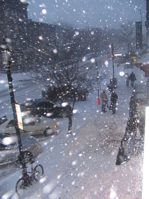
HUDSON COUNTY — The news is snowballing on Facebook that New Jersey may be in the path of a monster snowstorm this Sunday night into Tuesday morning. Too early to tell? Perhaps. But people are running scared after a winter full of storms, and the vaunted European weather predicting model is pointing toward white stuff right now.
The Facebook page “Severe NJ Weather” posted an update Wednesday afternoon saying that two weather models now agree: “KABOOOOOOOOOOOOOOOOOM goes the 12Z GFS!! GFS now agrees with the Euro with a 12+ inch snow event Sunday through Tuesday morning. Philadelphia through New York City are in the jackpot accumulation zone per this model run. Sunday is only 4 days away so it’s just about time to sound the alarms on this one. Model image from WeatherBell. Be safe!”
The Hudson Reporter website says, “Oh my.” (Everything else is unprintable.)
If it happens, send photos and thoughts to editorial@Hudsonreporter.com.
BREAKING: European weather model predicts New Jersey in path of massive snowstorm on Monday
